


13 posts on "Climate Change"
October 7, 2024
What Do Climate Risk Indices Measure?

As interest in understanding the economic impacts of climate change grows, the climate economics and finance literature has developed a number of indices to quantify climate risks. Various approaches have been employed, utilizing firm-level emissions data, financial market data (from equity and derivatives markets), or textual data. Focusing on the latter approach, we conduct descriptive analyses of six text-based climate risk indices from published or well-cited papers. In this blog post, we highlight the differences and commonalities across these indices.
Posted at 7:00 am in Climate Change | Permalink
September 25, 2024
Flood Risk Outside Flood Zones — A Look at Mortgage Lending in Risky Areas
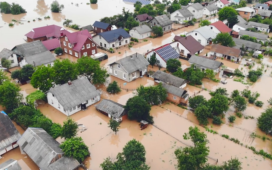
In support of the National Flood Insurance Program (NFIP), the Federal Emergency Management Agency (FEMA) creates flood maps that indicate areas with high flood risk, where mortgage applicants must buy flood insurance. The effects of flood insurance mandates were discussed in detail in a prior blog series. In 2021 alone, more than $200 billion worth of mortgages were originated in areas covered by a flood map. However, these maps are discrete, whereas the underlying flood risk may be continuous, and they are sometimes outdated. As a result, official flood maps may not fully capture the true flood risk an area faces. In this post, we make use of unique property-level mortgage data and find that in 2021, mortgages worth over $600 billion were originated in areas with high flood risk but no flood map. We examine what types of lenders are aware of this “unmapped” flood risk and how they adjust their lending practices. We find that—on average—lenders are more reluctant to lend in these unmapped yet risky regions. Those that do, such as nonbanks, are more aggressive at securitizing and selling off risky loans.
April 3, 2024
Physical Climate Risk and Insurers
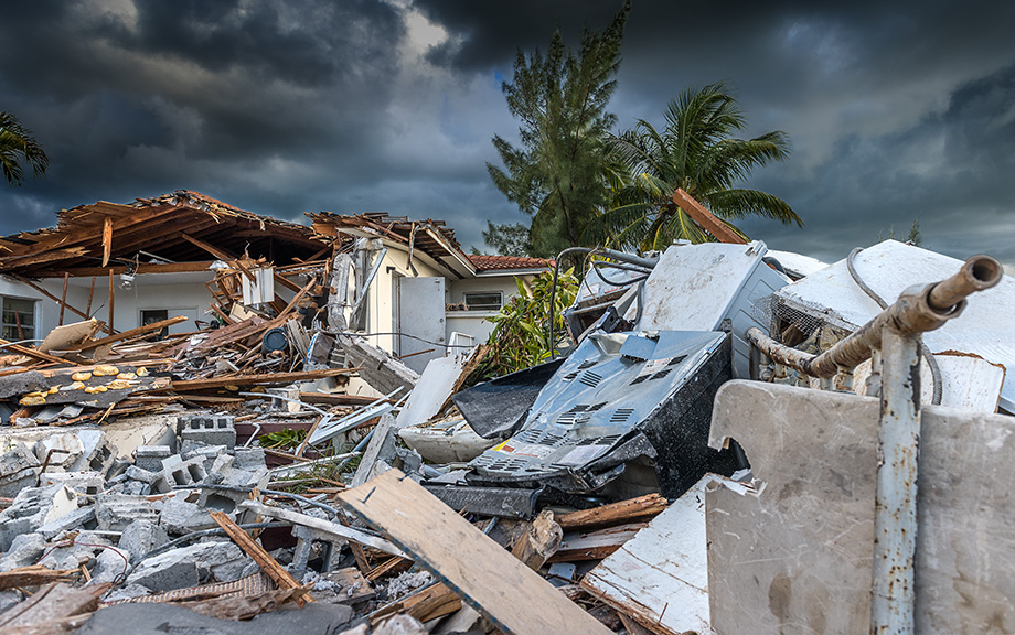
As the frequency and severity of natural disasters increase with climate change, insurance—the main tool for households and businesses to hedge natural disaster risks—becomes increasingly important. Can the insurance sector withstand the stress of climate change? To answer this question, it is necessary to first understand insurers’ exposure to physical climate risk, that is, risks coming from physical manifestations of climate change, such as natural disasters. In this post, based on our recent staff report, we construct a novel factor to measure the aggregate physical climate risk in the financial market and discuss its applications, including the assessment of insurers’ exposure to climate risk and the expected capital shortfall of insurers under climate stress scenarios.
November 20, 2023
Banks versus Hurricanes
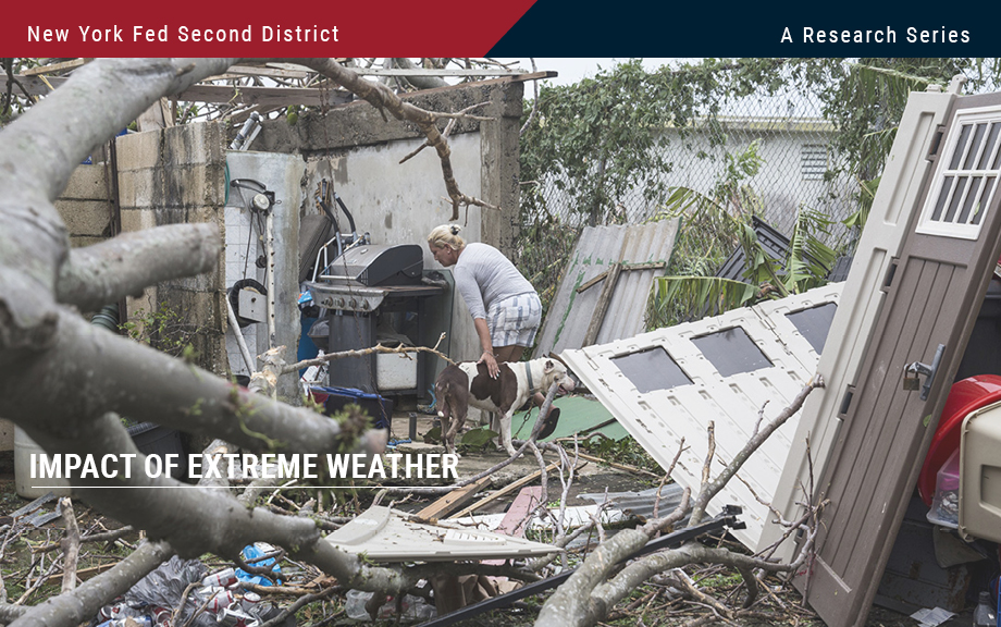
The impacts of hurricanes analyzed in the previous post in this series may be far-reaching in the Second District. In a new Staff Report, we study how banks in Puerto Rico fared after Hurricane Maria struck the island on September 17, 2017. Maria makes a worst case in some respects because the economy and banks there were vulnerable beforehand, and because Maria struck just two weeks after Hurricane Irma flooded the island. Despite the immense destruction and disruption Maria caused, we find that the island’s economy and banks recovered surprisingly quickly. We discuss the various protections—including homeowners’ insurance, federal aid, and mortgage guarantees—that helped buttress the island’s economy and banks.
November 17, 2023
Flood‑Prone Basement Housing in New York City and the Impact on Low‑ and Moderate‑Income Renters
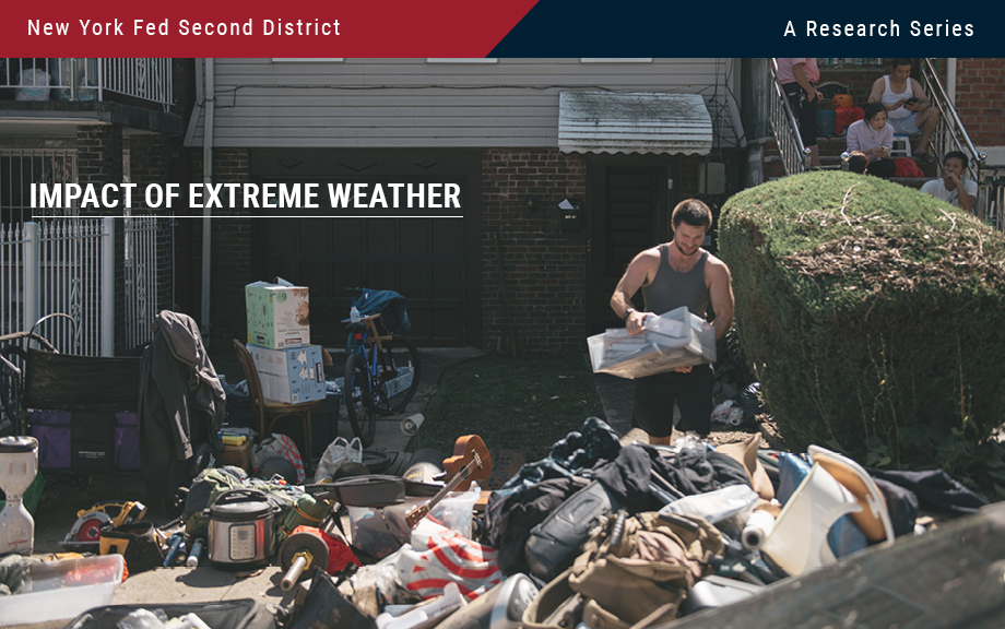
Hurricane Ida, which struck New York in early September 2021, exposed the region’s vulnerability to extreme rainfall and inland flooding. The storm created massive damage to the housing stock, particularly low-lying units. This post measures the storm’s impact on basement housing stock and, following the focus on more-at-risk populations from the two previous entries in this series, analyzes the attendant impact on low-income and immigrant populations. We find that basements in select census tracts are at high risk of flooding, affecting an estimated 10 percent of low-income and immigrant New Yorkers.
November 14, 2023
Flood Risk and Firm Location Decisions in the Fed’s Second District
The intensity, duration, and frequency of flooding have increased over the past few decades. According to the Federal Emergency Management Agency (FEMA), 99 percent of U.S. counties have been impacted by a flooding event since 1999. As the frequency of flood events continues to increase, the number of people, buildings, and agriculture exposed to flood risk is only likely to grow. As a previous post points out, measuring the geographical accuracy of such risk is important and may impact bank lending. In this post, we focus on the distribution of flood risk within the Federal Reserve’s Second District and examine its effect on establishment location decisions over the last two decades.
Posted at 7:00 am in Climate Change | Permalink
November 10, 2023
Potential Flood Map Inaccuracies in the Fed’s Second District
The National Flood Insurance Program (NFIP) flood maps, which designate areas at risk of flooding, are updated periodically through the Federal Emergency Management Agency (FEMA) and community efforts. Even so, many maps are several years old. As the previous two posts in the Extreme Weather series show, climate-related risks vary geographically. It is therefore important to produce accurate maps of such risks, like flooding. In this post we use detailed data on the flood risk faced by individual dwellings as well as digitized FEMA flood maps to tease out the degree to which flood maps in the Second District are inaccurate. Since inaccurate maps may leave households or banks exposed to the risk of uninsured flood damage, understanding map inaccuracies is key. We show that, when aggregated to the census tract level, a large number of maps do not fully capture flood risk. However, we are also able to show that updates do in fact improve map quality.
November 9, 2023
Transition Risks in the Fed’s Second District and the Nation
Climate change may pose two types of risk to the economy—from policies and consumer preferences as the energy system transitions to a lower dependence on carbon (in other words, transition risks) or from damages stemming from the direct impacts of climate change (physical risks). In this post, we follow up on our previous post that studied the exposure of the Federal Reserve’s Second District to physical risks by considering how transition risks affect different parts of the District and how they differentially affect the District relative to the nation. We find that, relative to other regions of the U.S., the economy of the Second District has considerably less exposure to fossil fuels. However, the cost of reducing even this relatively low economic dependence on carbon is still likely to be considerable.
Posted at 7:00 am in Climate Change, Employment, Inequality, New Jersey, New York, Regional Analysis | Permalink | Comments (1)
April 20, 2023
Moving Out of a Flood Zone? That May Be Risky!

An often-overlooked aspect of flood-plain mapping is the fact that these maps designate stark boundaries, with households falling either inside or outside of areas designated as “flood zones.” Households inside flood zones must insure themselves against the possibility of disasters. However, costly insurance may have pushed lower-income households out of areas officially designated a flood risk and into physically adjacent areas. While not designated an official flood risk, Federal Emergency Management Agency (FEMA) and disaster data shows that these areas are still at considerable risk of flooding. In this post, we examine whether flood maps may have inadvertently clustered those households financially less able to bear the consequences of a disaster into areas that may still pose a significant flood risk.
February 14, 2023
Is the Green Transition Inflationary?

Are policies aimed at fighting climate change inflationary? In a new staff report we use a simple model to argue that this does not have to be the case. The model suggests that climate policies do not force a central bank to tolerate higher inflation but may generate a trade-off between inflation and employment objectives. The presence and size of this trade-off depends on how flexible prices are in the “dirty” and “green” sectors relative to the rest of the economy, and on whether climate policies consist of taxes or subsidies.
 RSS Feed
 Follow Liberty Street Economics